Mountain Biking

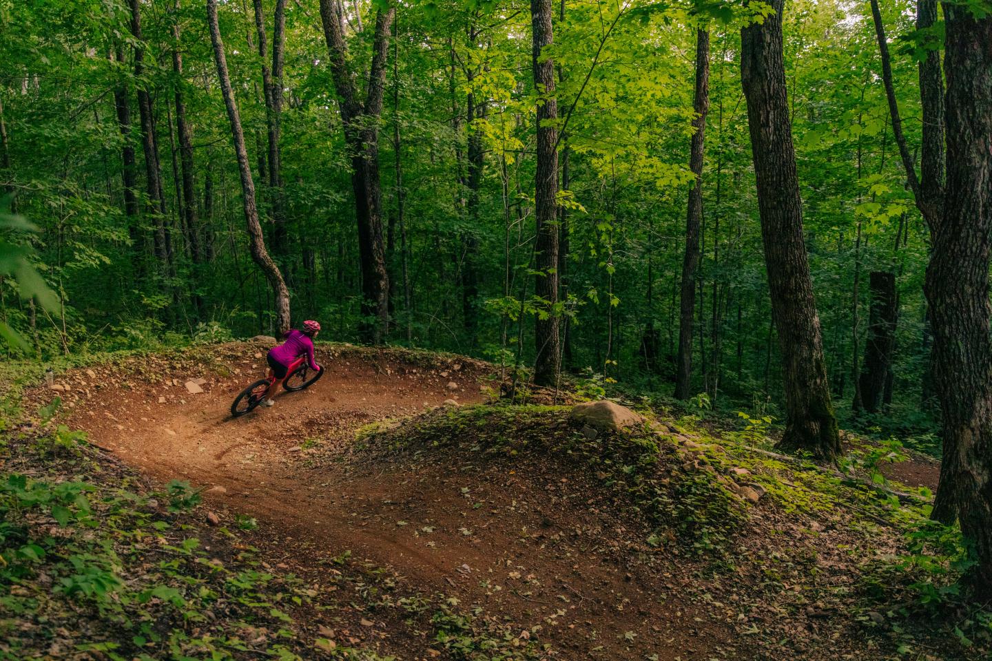
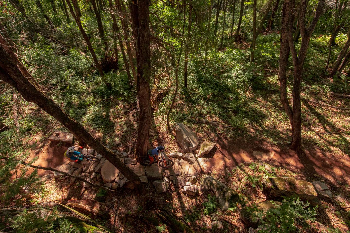
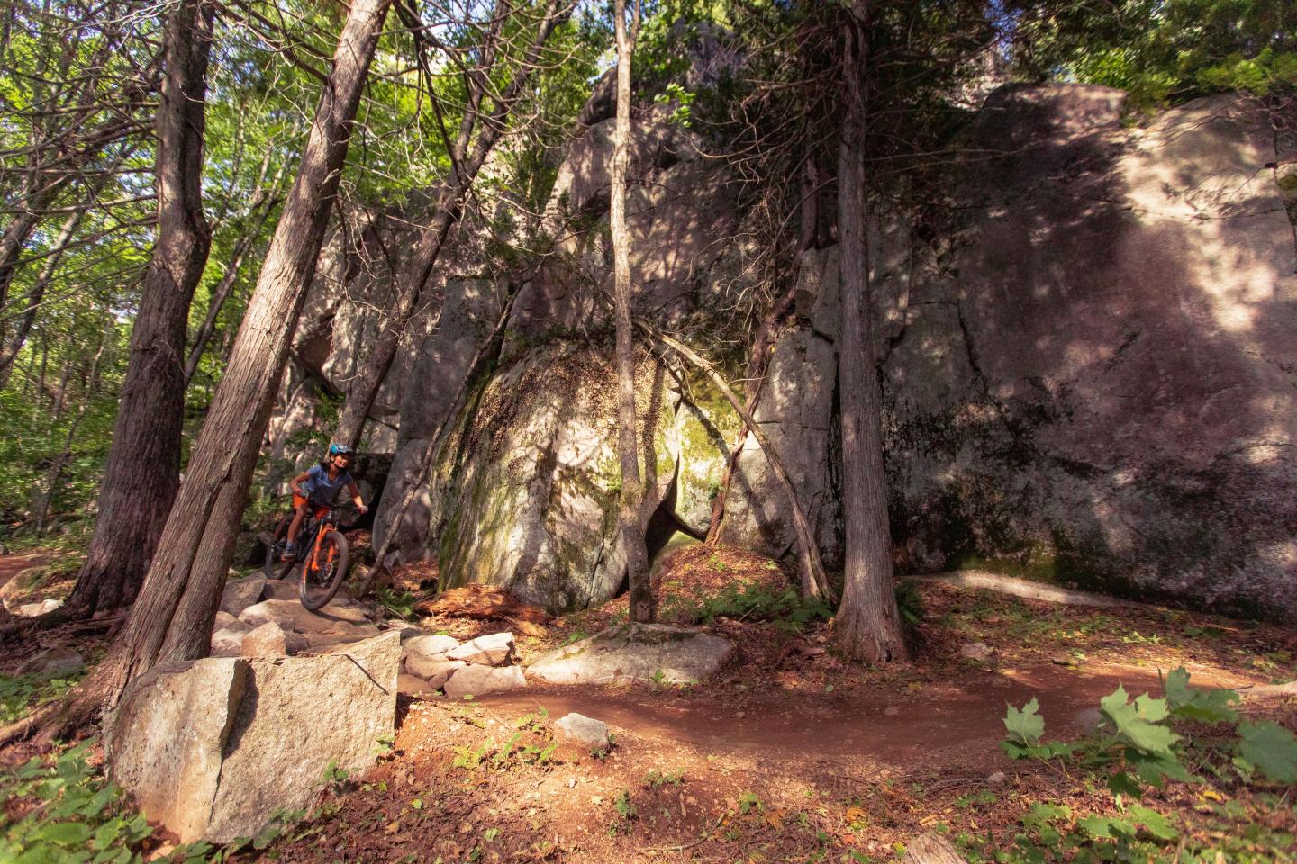
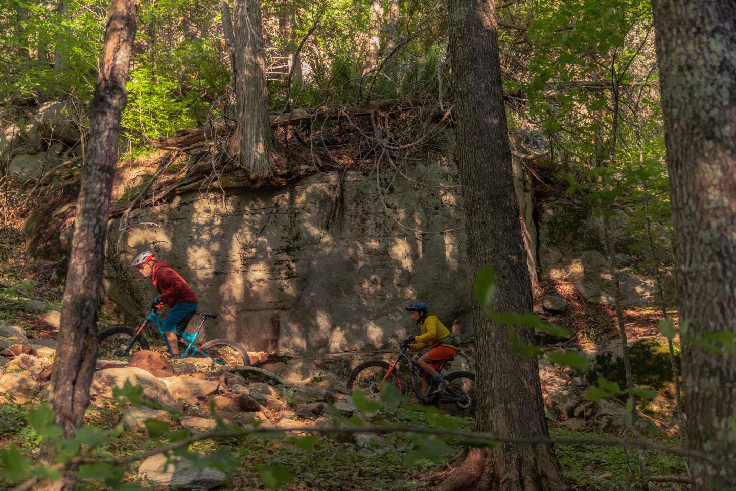
From the paved Gitchi Gami State Trail that winds along Lake Superior’s shore, to white-knuckle singletrack, to endless backcountry roads threading the Superior National Forest. Biking in Cook County, Minnesota is a ride you will never forget and has a trail for everyone.
LUTSEN99ER MOUNTAIN BIKE RACE – JUNE 28, 2025
A 19, 39, and 99-mile mountain bike race.
| Distance | 18 miles |
|---|---|
| Estimated time | 2 – 5 hours |
| DIFFICULTY | Intermediate |
Description
Over the river and through the woods is the best way to summarize this trail. In the first few miles, you gain a good deal of elevation. This scenic loop crosses the Temperance River multiple times, and it’s recommended to take the opportunity to park the bike and take a short hike along the river.
Terrain
This ride blends gravel road adventure with a taste of the Gitchi Gami paved bike trail. Hybrid or mountain bikes are recommended. Be aware that the Sawbill Trail is a well-traveled road and a main route into the inland lakes – be cautious of vehicle traffic
| Distance | 7 miles round trip* |
|---|---|
| ESTIMATED TIME | 30 minutes – 1 hour |
| DIFFICULTY | Easy |
*out and back trail
Description
Easy, family-friendly ride with several fun side-trip opportunities. This light traffic gravel road is a gradual climb through a mixed and scenic forest. Please remember riding on the Superior Hiking Trail is not allowed.
HONEYMOON LOOP + SPUR TRAIL
| Distance | 20 miles |
|---|---|
| ESTIMATED TIME | 3 – 5 hours |
| DIFFICULTY | Intermediate |
Description
A classic Northwoods ride, the Pancore/Honeymoon Loop will give you a taste of the ruggedness of the area. Rated intermediate due to distance but mild for the route.
Terrain
Generally smooth gravel with a few rockier sections on the Pancore Lake Road. Recommended to use a mountain bike but, with caution, a hybrid bike is capable.
Pike Lake Loop + Spur Trail
| Distance | 22 miles |
|---|---|
| ESTIMATED TIME | 2 – 4 hours |
| DIFFICULTY | Intermediate-Advanced |
Description
After a rainstorm, sections of this trail can be very muddy. There are many spur trails and roads, pay close attention to remain on the main trail. Excellent wildlife viewing.
Terrain
Gravel and primitive minimum maintenance road. Mountain bike recommended.
Britton Peak Trails
| Distance | 5.5 miles of trail |
|---|---|
| ESTIMATED TIME | 1 – 2 hours |
| Difficulty | Intermediate – Advanced |
Description
A series of single-track mountain bike adventures await discovery.
Terrain
Narrow single-track trails. Mountain bike required.
Gitchi-Gami State Trail | Schroeder – Lutsen Resort
| Distance | 10.41 miles each way |
|---|---|
| ESTIMATED TIME | 1 – 5 hours |
| Difficulty | Easy |
Description
A paved recreational trail to provide a safe corridor for bicyclists, in-line skaters, joggers and walkers along Highway 61, paralleling the North Shore of Lake Superior. The trail can be broken into segments or done in full.
Terrain
Paved multi-use path offers a safe route along the highway but crosses multiple private driveways. Travel with caution then approaching high traffic zones. Any bike can be used on this trail but ideal for road biking.
Backcountry & Forest Service Roads
Countless backcountry gravel roads and trails wind through the Superior National Forest and into some of the most breathtaking country accessible by bike. Pick up an official Cook County Highway Map or the official Superior National Forest Visitor Map for a comprehensive list of all roads and trails.
Where to rent bikes, get the gear, take guided tours and more.


